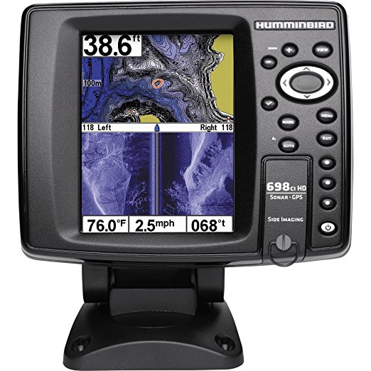
If you are looking for a powerful and advanced unit, then consider choosing the Humminbird 698ci HD fishfinder. This unit offers a high resolution backlit display, powerful side imaging technology, and 2D sonar frequencies that power and ability to provide readings up to 1500 ft.
It has the power output of 400 watts [peak to peak] and 5oo watts. It also has an internal GPS unit that provides both chart plotting and GBS tracking.
The unit comes with UniMap cartography and a card slot that contains a selection of optional maps. The split-screen available enables easier viewing of sonar and charts at a go, making it simple to navigate while fishing.
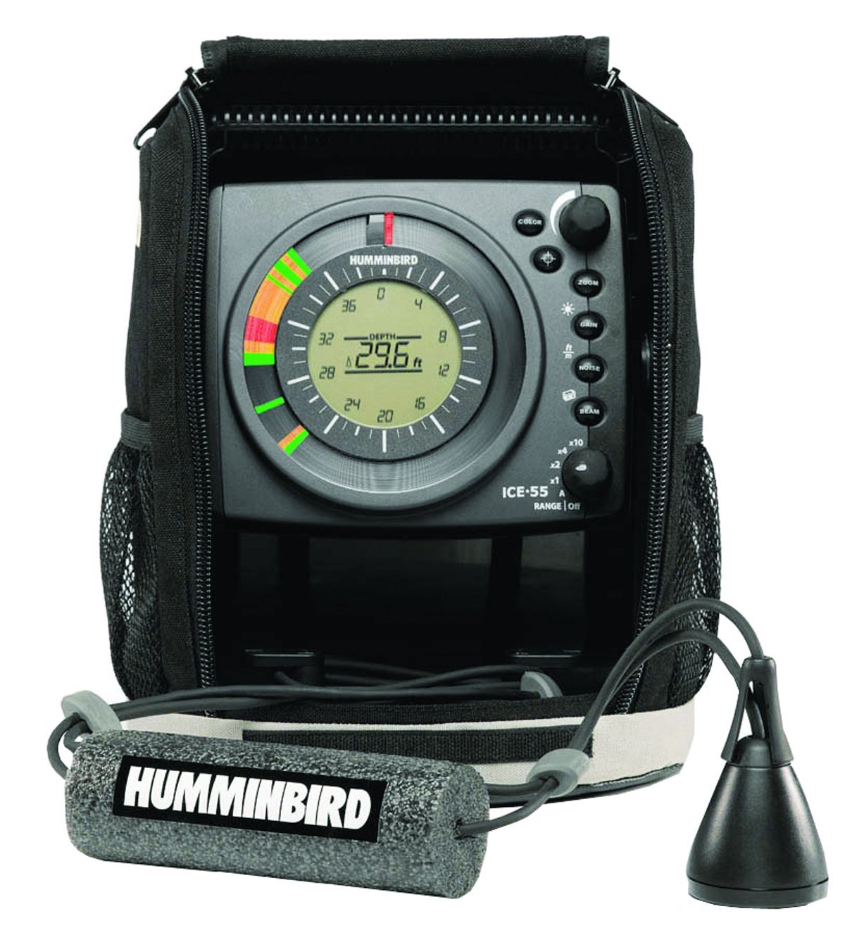
For those who enjoy ice fishing, one of the top-rated and recommended fish finders is the Humminbird ICE-35. It contains zoom flexibility which is one of the most liked features.
This enables you to zoom for more detail in any part you select of the water column. It has features such as dual-frequency, maximum 200 depth capability and 800 watts [peak to peak].
Also, it has three color optic display that enables you to view the readings. Finally, it has an extreme temperature technology that reports the lake bottom and setting the flasher automatically
If you are looking for a portable device that does not cost much, then this is the best option. This tool is easy to use and also quite innovative. It is made to be able to provide readings of fish, weeds, and structure to as deep as 100ft.
The negative side of this device is that it does not draw a picture but only detects an image that provides fish. It is tiny, and so it can fit well in the palm of your hand. Due to its portability, there is no mounting of the unit required.
This one of the most advanced and higher-priced fish finders in the market. The higher cost of this unit gives you many features that may be very beneficial. It features a 7-inch bright LED-backlit LCD for crystal clear pictures.
It has down imaging for identifying cover and structure and switch fire that allows locating and targeting fish. The HD Side Imaging assists scanning the area up to 240 feet deep. It has an Internal GPS that helps in chart plotting.


